Skip to main content
Hit enter to search or ESC to close
Close Search
Menu
Overview
How We Improve Weather Forecasts
CWA Team
Blogs
Contact
Blogs
Filter
All
Uncategorized
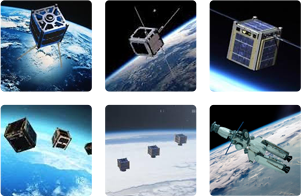
Stereo Imaging Of Wildfires From Orbit – California’s Wildfires From The ISS On August 13, 2018
"The Hurricane Hunter Satellite constellation offers the potential to spot wildfires especially in remote regions"…
Satellite Wind Measurements: Wind Shear’s Effects On Weather
"Being able to get reliable wind data remotely from satellites helps our meteorologists provide better…
Satellite Observations Of The Polar Vortex And Jet Streams
"The required vertical resolution for weather and climate applications are not met today over the…
The Need For Better Satellite Wind Data For Aviation
"Accurate 3D winds aloft would be not only a game changer for weather forecasting, but…
How Satellite Wind Data Impacts Weather Forecasting
"ESA’s Aeolus satellite uses its innovative ALADIN Doppler LIDAR to provide global wind data. This…
Close Menu
Overview
How We Improve Weather Forecasts
CWA Team
Blogs
Contact